Panama
Top tip: Catch that canal

Geography
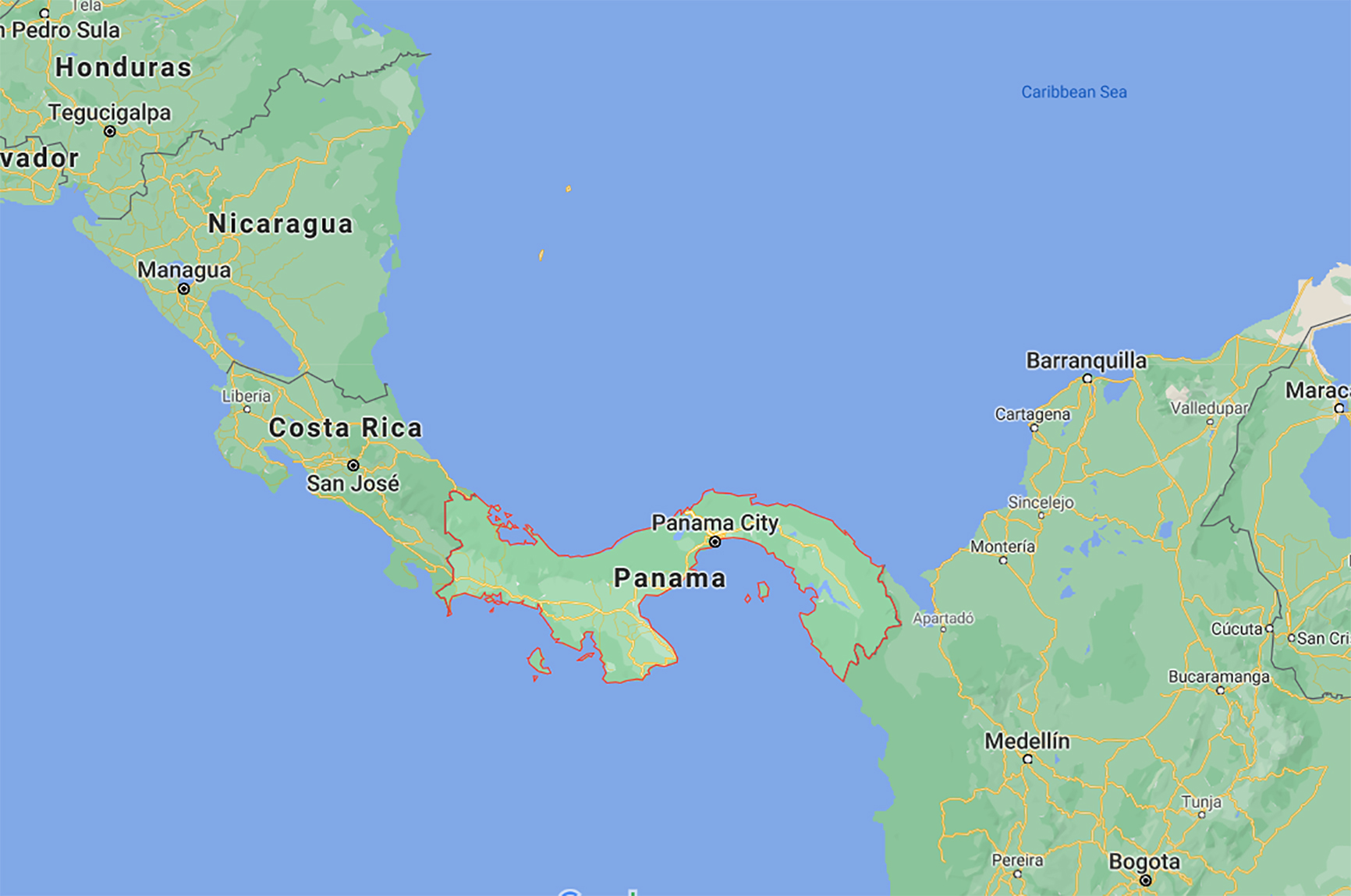
Panama forms the land link between North and South America. It shares borders with Colombia and Costa Rica; the Caribbean lies to the north and the Pacific Ocean to the south. The landscape is mountainous with lowlands on both coasts, divided by streams, forested hills and a wide area of savannah-covered plains and gentle hills called El Interior between the Azuero peninsula and the Central Mountains. The Darién province in the east is a humid area of swamp and junglewhere few people have settled. The Darién Gap is where the Panamerican Highway halts, as extending the road through the dense vegetation would be costly, both in financial and environmental terms.
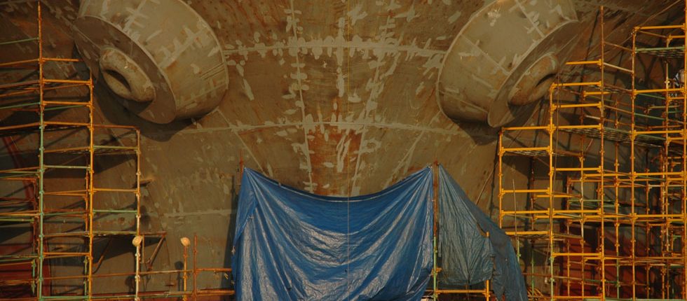
The Caribbean and the Pacific Ocean are linked by the 65km (50 mile) long man-made Panama Canal, cut into a gap between the Cordillera de Talamanca and the San Blas mountains.
Only about a quarter of the country is inhabited. The populated areas are around the cana, Panama City and Colón (the two cities controlling the canal’s entrance and exit) or in the Pacific lowlands and nearby mountains.
Temperatures are consistently high throughout the year, though cooler at higher altitudes. The rainy season lasts from May to November, but even during this period rain rarely lasts all day, rather comes in short, heavy downpours – the sun will be out again before long. Rainfall is twice as heavy on the Pacific coast as it is on north coast.
Facts and Figures
| Area | 75,517 km2 |
|---|---|
| Population | 3,405,813 (2010) |
| Capital | Panama City |
| Language | The official language is Spanish |
| Religion | Largely Roman Catholic, with a substantial Evangelical minority |
| Time | GMT – 6 |
Highlights
Weave your way around the shining skyscrapers and colonial old town in Panama City and take a day trip from there to the island of Barro Colorado, a manmade island and biological reserve and reputed to be one of the world’s leading natural tropical laboratories. Take a boat trip along the famous Panama Canal, and visit the museum dedicated to its history in the Casco Viejo area of the city. 40km north, Panama City National Park is ideal for birdwatching, with about 950 species making it one of the best birdwatching spots in the world.
The Coiba National Marine Park holds a stunning number of rare animals, particularly marine-dwellers.The Parque Nacional Marino Golfo de Chiriquí, likewise, is one of the best places in Central America for whale-watching. Roam the Darién National Park in the sparsely populated wilderness of the Darién Gap, which contains an exceptional variety of habitats, ranging from sandy beaches, rocky coasts, mangroves and swamps to tropical rainforest. The park is also home to two Choco Indian tribes.
Climb the dormant Baru Volcano on horseback for spectacular views. If you’re a water sport enthusiast, Santa Catalina is a prime surfer’s spot, with waves reaching 4.5m. Bocas del Toro has some excellent diving and snorkelling locations, and there are ample opportunities throughout the country for surfing, hiking, diving and rafting. Finally, experience the traditional way of life of the indigenous Kuna people on the paradisiacal San Blas islands.
History
Panama’s canal gives it a unique source of wealth, influencing both its economy and culture, and differentiating it from its Central American neighbours.
After 300 years of Spanish rule, Latin America was in a state of revolt and Panama was no exception – the territory was incorporated into Colombia, a decision the Panamanians spent the next 80 years trying to reverse. Finally, after a period of intense riots and changes in power, Panama declared its independence in 1903.
The building of the Panama Canal, completed in 1914, changed everything. 75,000 labourers of of all conceivable backgrounds flocked to Panama at the prospect of work and building a new life for themselves, starting a wave of new and wholly distinct cultures. The United States bought the rights to the Panama Canal Zone and had enormous influence in the country’s governance – the wealth generated by the Canal was largely siphoned back to the United States.
The twentieth century saw many struggles over rights to the canal. A military coup in 1968 led by General Omar Torrijos Herrera established a Panamanian dictatorship. Herrera’s successor, his former intelligence chief, Manuel Noriega, led to strained relations with the US and eventually the loss of US financial assistance. By the time President George Bush sent in forces to wrest power from the dictator, Panama was suffering from a crippling lack of funds, and spent most of the 1990s slowly getting back on its feet.
Perhaps the most important moment of Panama’s history was the official handing over of the Panama Canal by the US to Panama, an event that finally gave the country true independence and which was to alter its future immeasurably. In 1977, during the Torrijos dictatorship, a treaty was signed between Panama and the US agreeing that the US would hand over the rights to the canal by 1999.
Today, there is an alarming discrepancy between rich and poor in Panama. But plans for an ambitious expansion of the Panama Canal are being implemented, allowing more traffic to pass through the canals. Trade routes should flourish, allowing the country to prosper and grow.
Interested in Panama? Call +44 (0)20 7604 4408 for expert holiday advice


